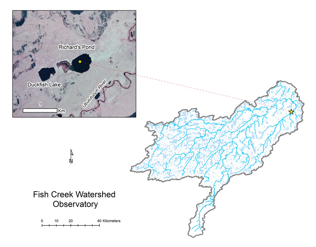
- Station Name:
- Richard’s Pond (L9817)
- Latitude:
- N 70.233°
- Longitude:
- W 151.339°
- Elevation:
- 16.1 masl
- Lake Area:
- 24 ha
- Mean Depth:
- 1.9 m
- Record:
- uncertain
- Purpose:
Selected by BLM hydrologist Richard Kemnitz for long-term monitoring because it is mostly hydrologically isolated, records for this lake need to be evaluated and QA/Qced before made publically available.