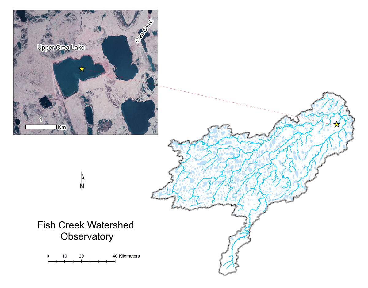
- Station Name:
- Upper Crea Lake (L9820)
- Latitude:
- N 70.267°
- Longitude:
- W 151.386°
- Elevation:
- 7.7 masl
- Lake Area:
- 129 ha
- Mean Depth:
- 1.1 m
- Record:
- 2011-present
- Purpose:
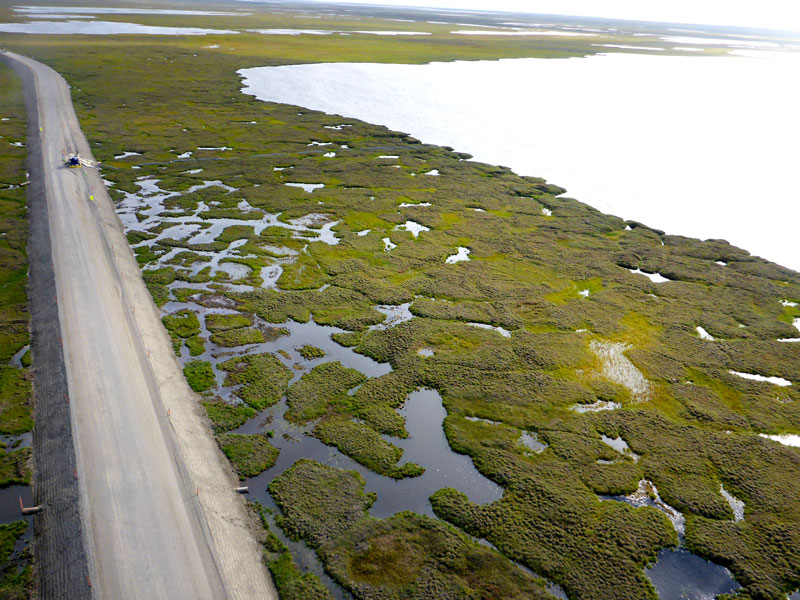
This shallower sister lake connected to Crea Lake regularly freezes solid, yet still supports summer fish habitat. It is also used a water supply lake for GMT1. This site was also part of the Circum-Arctic Lake Observation Network (CALON) from 2012-2015. Notable strandlines suggest it was once larger and deeper and may have partly drained.
Select Publications on Upper Crea Lake:
- Heim, K. C., C. D. Arp, M. S. Whitman, and M. S. Wipfli. 2019. The complimentary role of shallow lakes and streams as foraging habitat to Arctic Grayling. Ecology of Freshwater Fishes. DOI: 10.1111/eff.12444
- Arp, C. D., Jones, B. M., Engram, M., Alexeev, V. A., Cai, L., Parsekian, A., Hinkel, K. M., Bondurant, A. C., and Creighton, A. 2018. Contrasting Lake Ice Responses to Winter Climate Indicate Future Variability and Trends on the Alaskan Arctic Coastal Plain.Environmental Research Letters 13(12): 125001
For additional information regarding the Fish Creek Watershed project, please contact Chris Arp at cdarp@alaska.edu.


The University of Alaska is an Equal Opportunity/Equal Access Employer and Educational Institution. The University is committed to a policy of non-discrimination against individuals on the basis of any legally protected status.
For technical issues regarding this website, please contact the web administrator.